Camping in the Red River Gorge Geological Area.
Click on photos for a closer look.
Click on photos for a closer look.
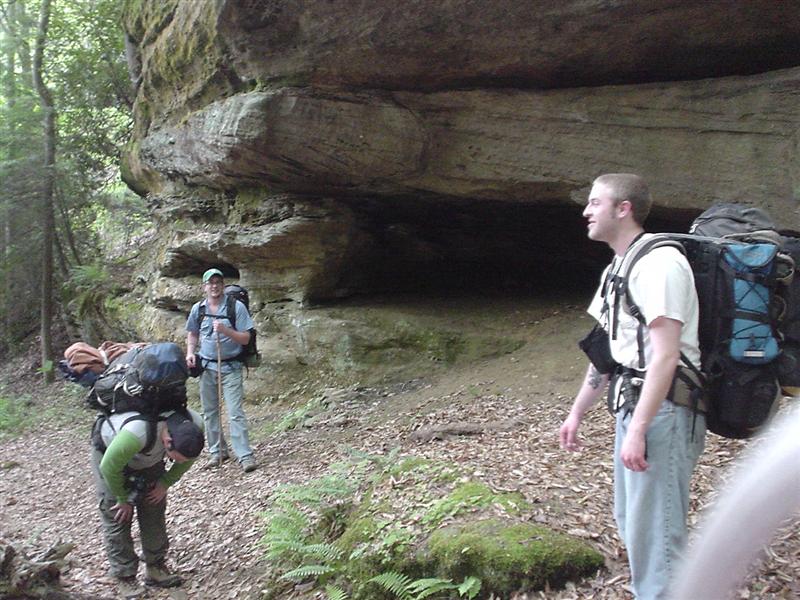
0:DSC02723.JPG (Sal Branch starts with a climb;)
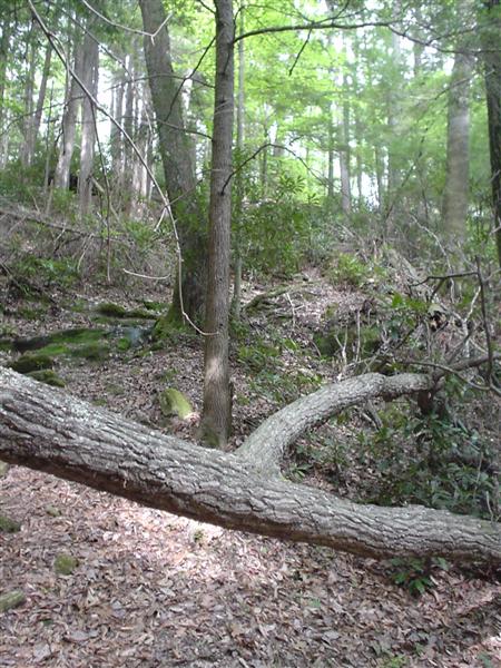
1:DSC02724.JPG
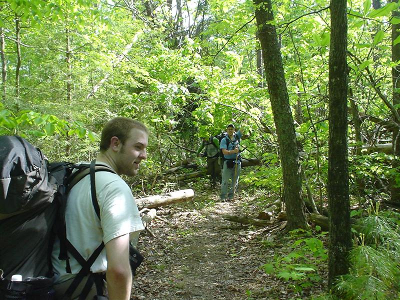
2:DSC02725.JPG
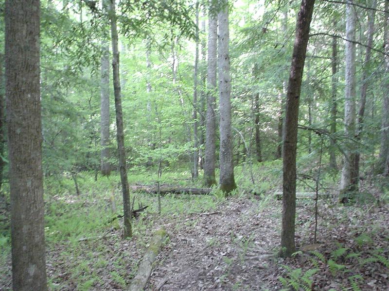
3:DSC02726.JPG
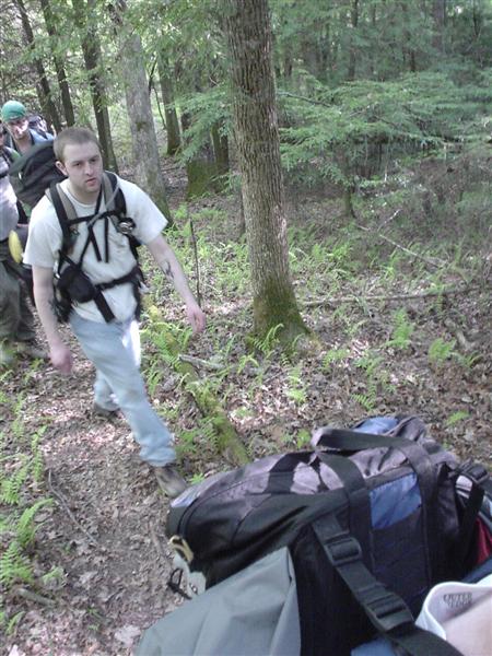
4:DSC02727.JPG
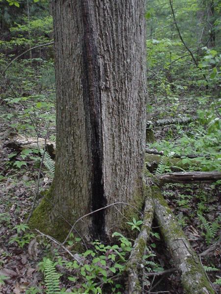
5:DSC02728.JPG
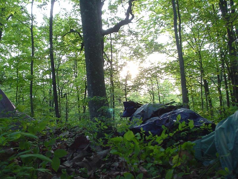
6:DSC02729.JPG
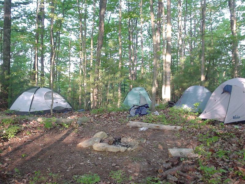
7:DSC02730.JPG (Camp Tranquil Pioneer;)
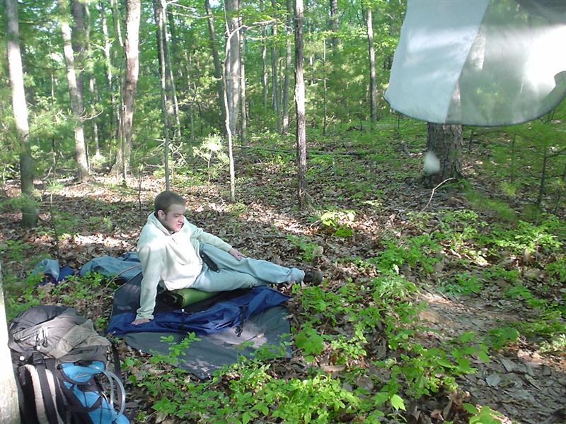
8:DSC02731.JPG
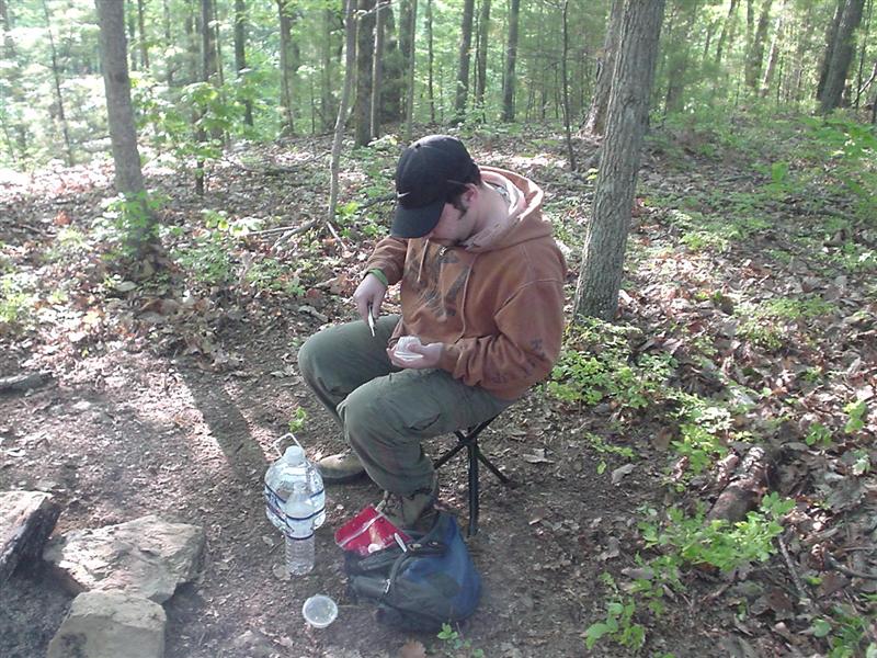
9:DSC02732.JPG
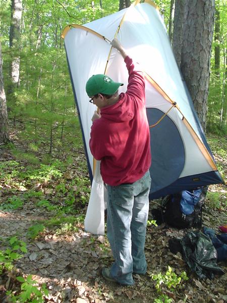
10:DSC02733.JPG
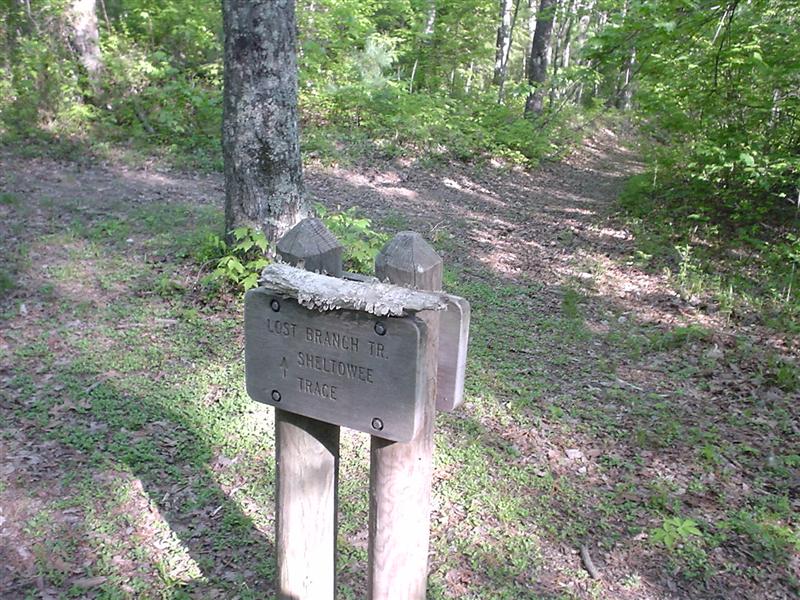
11:DSC02734.JPG (Start of Lost Branch;)
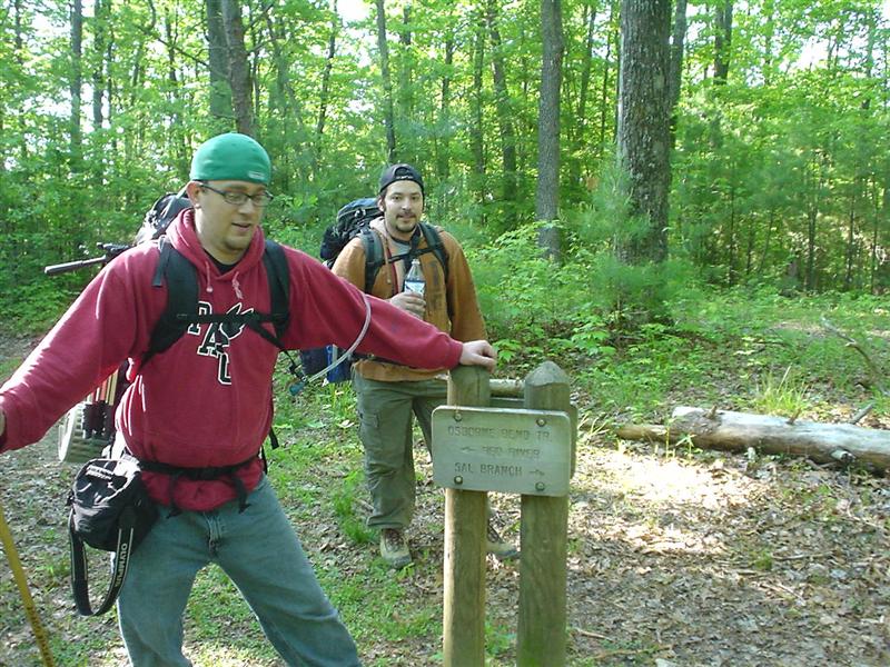
12:DSC02735.JPG (End of Osbore Bend Trail;)
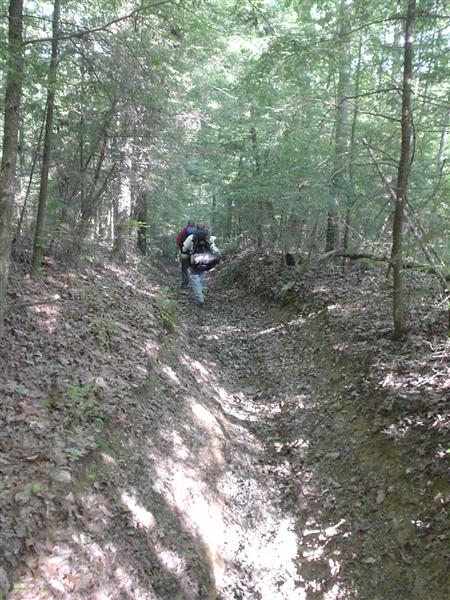
13:DSC02736.JPG
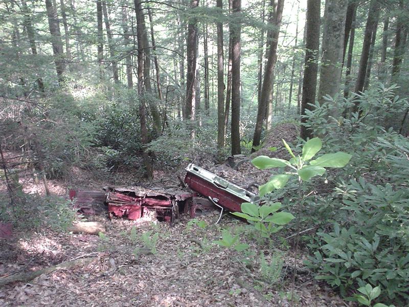
14:DSC02737.JPG (A lost driver on Lost branch;)
15:DSC02738.JPG
16:DSC02739.JPG
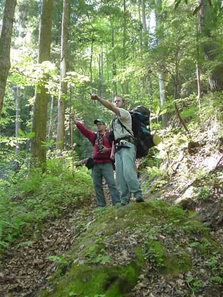
17:DSC02740.JPG
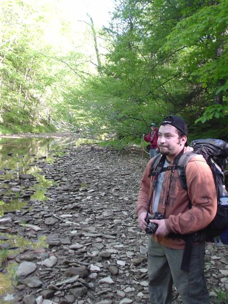
18:DSC02742.JPG
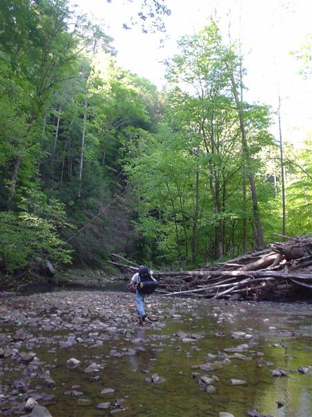
19:DSC02743.JPG
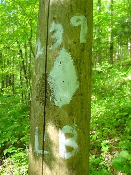
20:DSC02744.JPG (Trail 239 Lost Branch;)
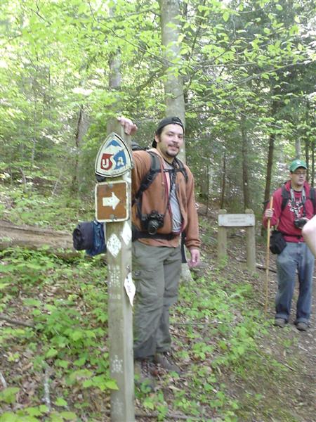
21:DSC02746.JPG (Lost Branch meets up to Sheltowee Trace;)
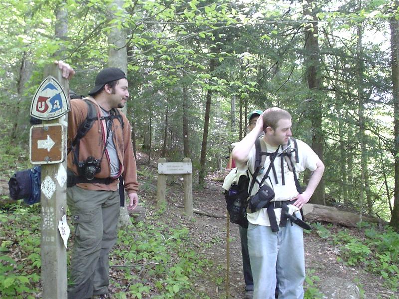
22:DSC02747.JPG
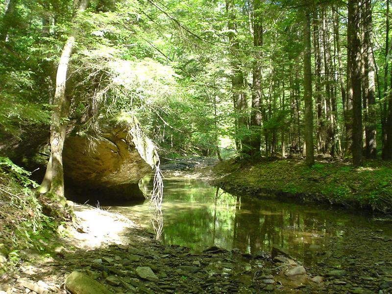
23:DSC02748.JPG (Salt Fork;)
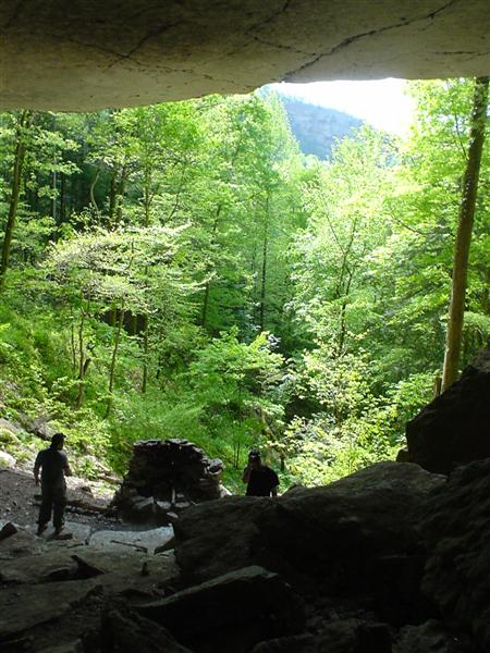
24:DSC02749.JPG
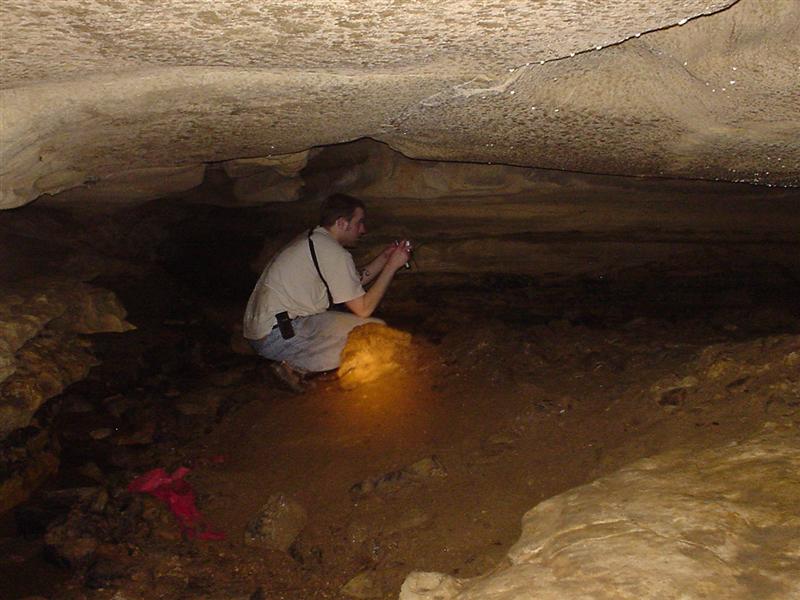
25:DSC02750.JPG
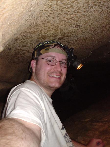
26:DSC02751.JPG
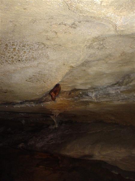
27:DSC02752.JPG
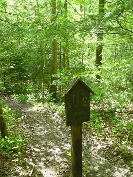
28:DSC02754.JPG
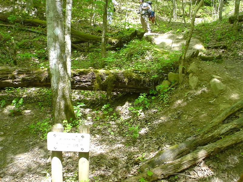
29:DSC02755.JPG (Sheltowee Trace joins Bison Way;)
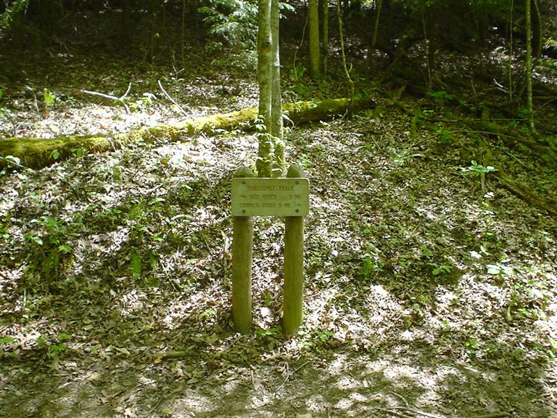
30:DSC02756.JPG
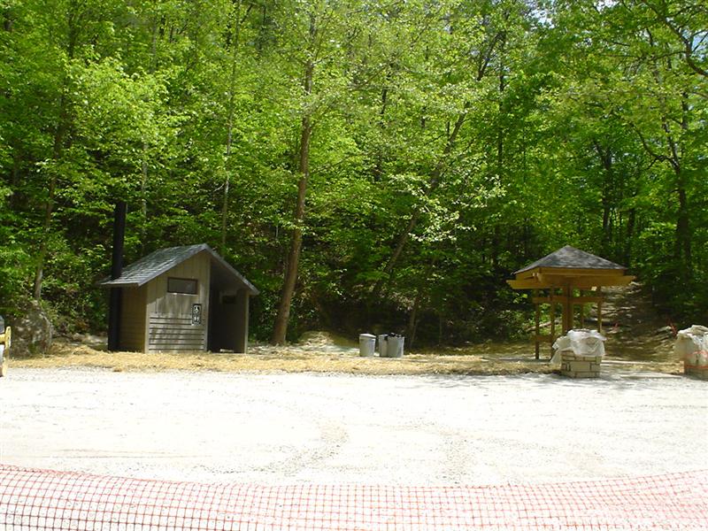
31:DSC02757.JPG (Concrete bridge parking area;)
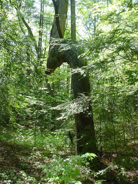
32:DSC02758.JPG
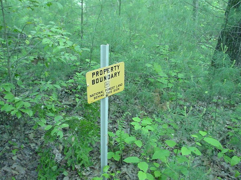
33:DSC02759.JPG (Forest Service property boundry;)
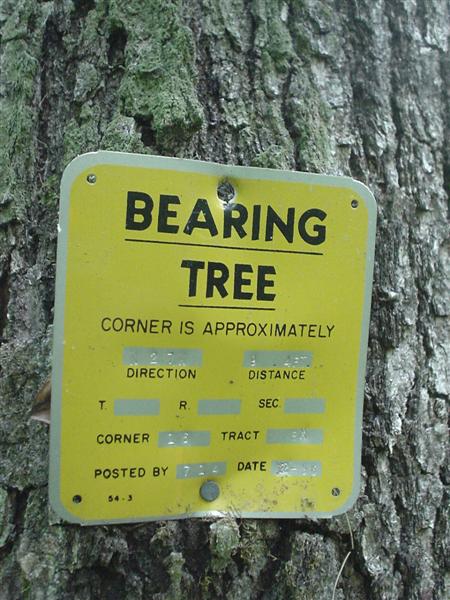
34:DSC02760.JPG (Bearing Tree;)
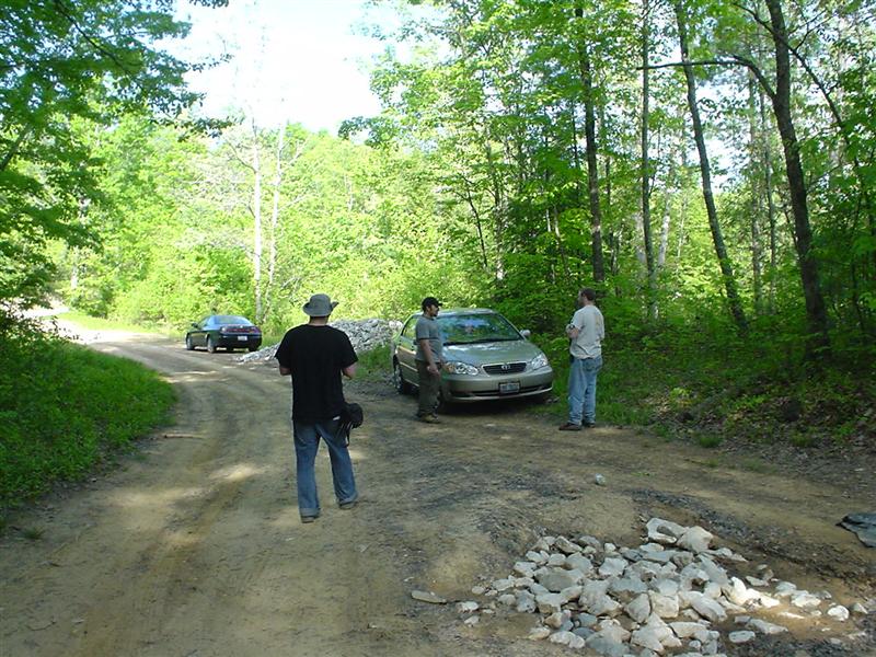
35:DSC02761.JPG
36:DSC02762.JPG
37:DSC02763.JPG
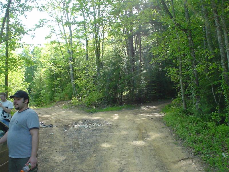
38:DSC02764.JPG
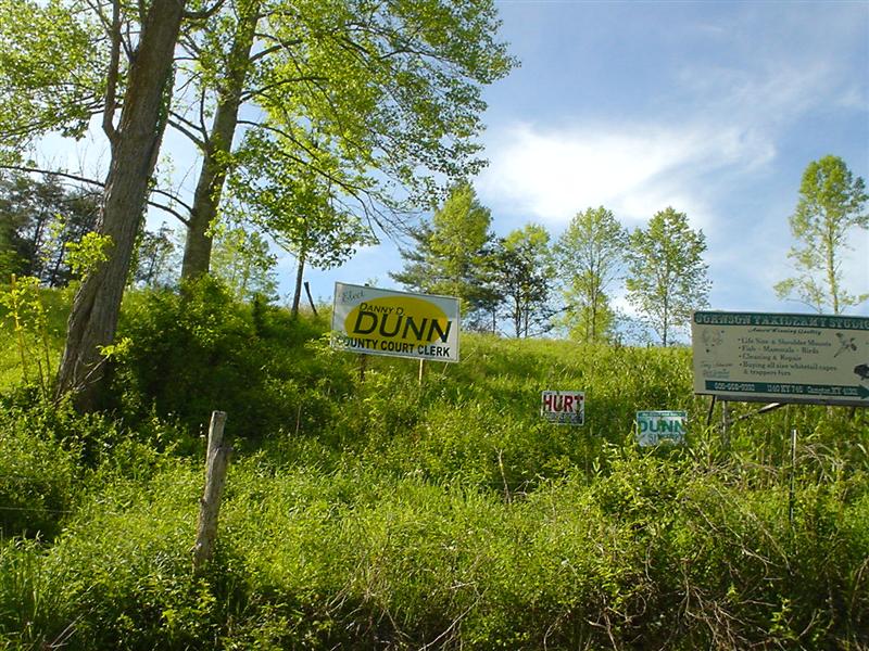
39:DSC02765.JPG (Danny D. Dunn and Rocky Dunn;)
40:DSC02766.JPG
41:DSC02767.JPG
42:DSC02768.JPG
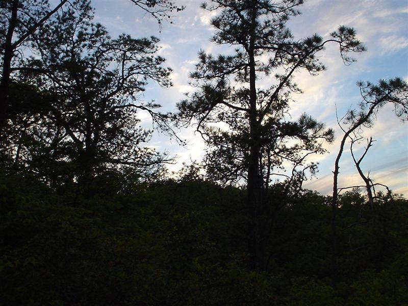
43:DSC02769.JPG
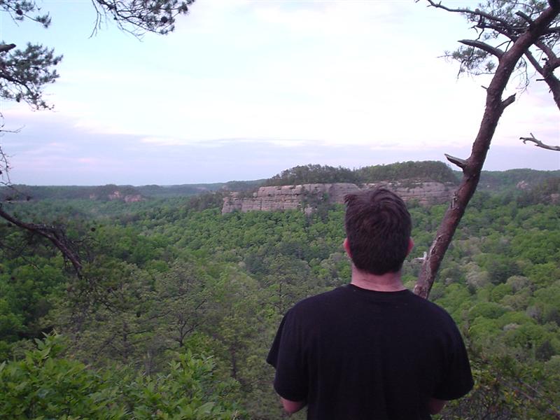
44:DSC02770.JPG
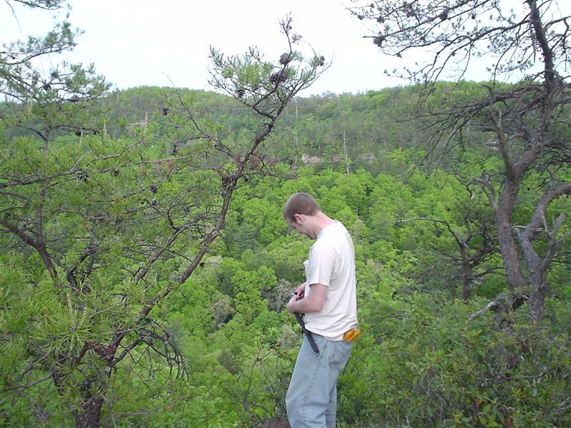
45:DSC02771.JPG
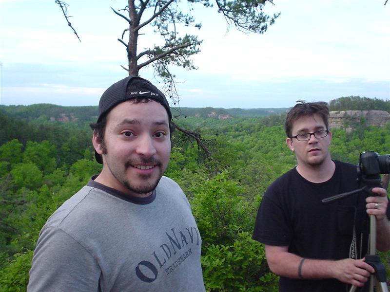
46:DSC02772.JPG
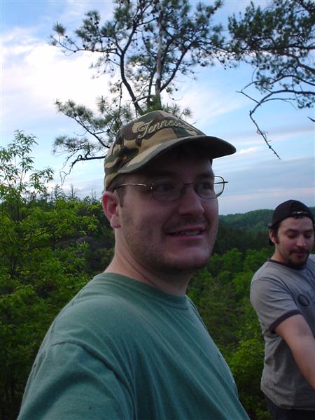
47:DSC02773.JPG